One platform for traffic detection and license plate reading. Count vehicles, catch wrong-way drivers, flag emergency vehicles, spot parked vehicles, and read plates, all using your existing surveillance cameras.
Works with WINK Media Router to add detection and plate reading to cameras you already have.
Vehicle detection and plate reading that runs on the cameras an agency already owns, rather than on a separate network of dedicated ALPR hardware.
The conventional approach to plate reading starts with procurement. Dedicated ALPR cameras go in at chosen collection points, aimed tightly, lit deliberately, and priced per location. The result works well and covers the handful of sites the budget stretched to, which means the coverage map is decided by cost rather than by where vehicles actually go.
This product starts from the opposite end. A city or a DOT typically operates hundreds of cameras already, mounted on poles, pointed at intersections and corridors, with lighting nobody controls. Reading plates from that material is harder, and we accept the loss on individual frames in exchange for something the dedicated approach cannot offer: every camera you own becomes a collection point.
It is an add-on to WINK Media Router, so the analytics run against streams already flowing through the platform. A camera that is in the system can be turned on for detection without new cabling, a new network, or a second video path.
A vehicle that passes one camera and then another tells you a lot more than either camera tells you alone. We tie the observations together.
Connect dozens or hundreds of cameras, whether intersections, highway corridors, or toll plazas, into one place. Each camera can run a different detection profile: highway cameras watch speed and classification, intersection cameras watch pedestrians, toll cameras read plates.
When a vehicle leaves one camera's view and shows up on the next, the system stitches the two observations together. No special hardware, no manual calibration.
Run the heavy lifting at the edge for cameras that need instant alerts. Run it in the cloud for everything else. Mix both in the same deployment. You don't have to commit to one model.
Coverage compounds. The more cameras you point at the problem, the more useful the picture gets.
Once we've read a plate at one camera and read it again at another, we know the route, the time it took, and the volume on that path. Multiply that across thousands of vehicles and you can answer real questions: which corridors are slowing down, where demand is shifting, which routes drivers actually pick. No GPS feeds, no probe data, no surveys, just the cameras you already operate.
The corridor travel times that come out of this can feed straight into 511 systems and dynamic message signs.
No magic. We read the plate, attach an identifier to the vehicle, and track that identifier across every camera that sees it. Routes, dwell times, repeat visits, hot-list matches. They all come from that one observation, done well, at scale.
Most LPR products only work on dedicated, perfectly-mounted ALPR cameras with a tight angle, controlled lighting, and a narrow field of view. Ours doesn't make that demand. Plug in the city cameras you already operate, pole-mounted, off-axis, glare-prone, IR at night, wide-area pan-and-tilt, and we'll catch what we can.
This is why we get usable LPR out of cameras other vendors give up on: we train a model specifically for your camera makes and models, your optics, your lighting conditions, your mounting angles. We learn the way your install distorts plates and account for it. You'll have higher success on imperfect cameras than off-the-shelf ALPR products can deliver, because no one else is tuning to your exact equipment.
That's the part that didn't used to be possible. Until now, building a region-wide LPR mesh meant installing dedicated ALPR cameras at every collection point, an expense most agencies could never justify. By making LPR work on the cameras you already have, every existing camera becomes a node in the mesh. Suddenly your whole city is the collection grid.
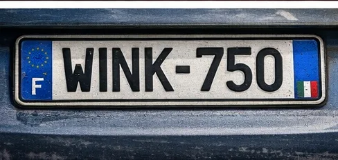
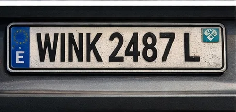
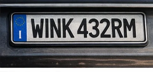
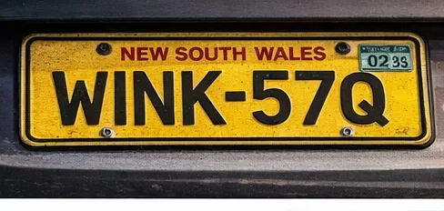
Different regions have different plate formats. We maintain a large library of pretrained models covering plate formats from across the Americas, Europe, and Asia. When your region or use case needs something different, we can quickly train a model with you using your own footage.
This isn't a one-and-done install. We retrain the models against anonymized data from your deployment, so recognition on your specific cameras gets sharper as we go. You're not locked into the accuracy you bought on day one.
Load watch lists for stolen vehicles, AMBER alerts, or agency BOLOs and you get an alert the moment that plate shows up anywhere on the network. Search any plate at any time across the full history.
Every detection, every alert, every operator action is logged. Source frames are preserved with each event so you can export a complete evidence package later. Operators can't delete or alter logs, and configurable retention rules handle the rest.
If your agency needs to answer "what did the system see, who looked at it, and when?", the answer is in the audit trail.
Detections show up in your ATMS, CAD, video wall, or message signs, not in a separate window your operators have to remember to check.
Push events through webhooks, REST API, email, or SMS. When a wrong-way driver triggers an alert, the right person gets paged on the right channel within seconds. Set up escalation chains so an unacknowledged alert moves up the ladder automatically.
If you run WINK Media Router, every camera already in the system can be turned on for analytics with one toggle. WINK Wall automatically pops up the relevant camera with the detection overlay so the operator doesn't have to hunt for it.
A short list of the things people most often ask about. There's more, so ask us.
Count and classify all 13 FHWA vehicle types per lane and direction. Hourly, daily, and weekly volume reports for traffic studies and capacity planning.
Instant alerts when a vehicle is detected traveling against traffic. Critical for highway entrance ramps, divided arterials, and one-way street networks.
Automatic identification of fire, EMS, and police vehicles. Route preemption signals to traffic management systems and clear the path automatically.
Identify vehicles parked illegally, stopped on shoulders, or abandoned in travel lanes. Configurable dwell-time thresholds reduce false positives.
Real-time plate capture from existing cameras with hot list alerts, plate search, and full chain-of-custody logging for evidentiary use.
Average speed estimation, queue length measurement, and traffic density tracking. Detect congestion as it forms, not after it's reported.
Identify vulnerable road users at intersections and on highways. Trigger warnings, signal extensions, or alerts when pedestrians enter unsafe zones.
Detect rain, snow, fog, and reduced visibility conditions. Integrate with dynamic message signs and variable speed limit systems.
Follow vehicles across your entire camera network. Reconstruct travel paths, measure corridor times, and answer movement questions.
Centralized traffic intelligence across thousands of cameras. Real-time corridor monitoring, automated incident detection, and travel time data feeding 511 systems and dynamic message signs.
Plate recognition with hot list alerts for stolen vehicles, AMBER alerts, and BOLOs. Vehicle search across the camera network with full audit trails for investigations.
Plate-based tolling support, queue management, and vehicle classification for dynamic pricing. Reduce wait times and increase throughput at toll plazas.
Real-time situational awareness during incidents. Automatic incident detection, evacuation route monitoring, and multi-agency coordination through video wall integration.
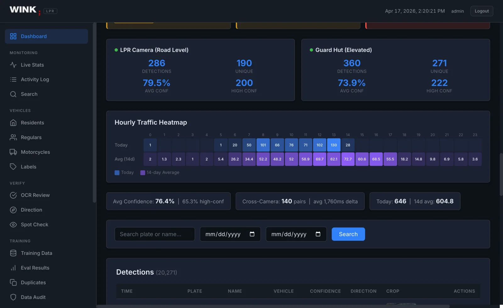
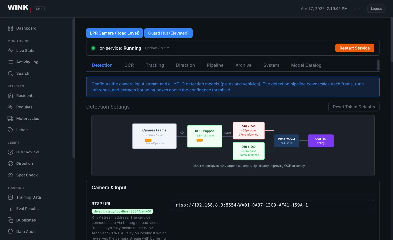
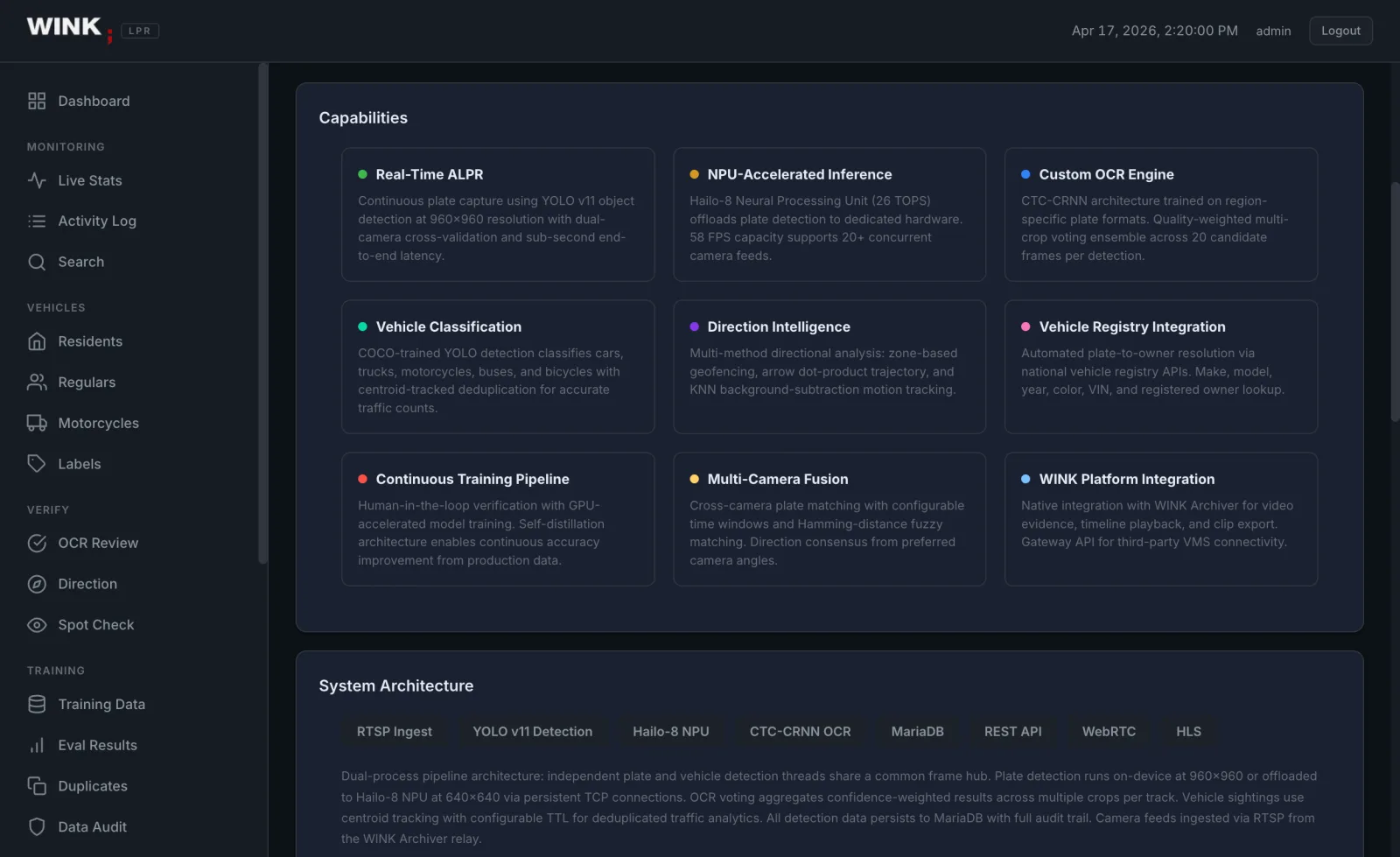
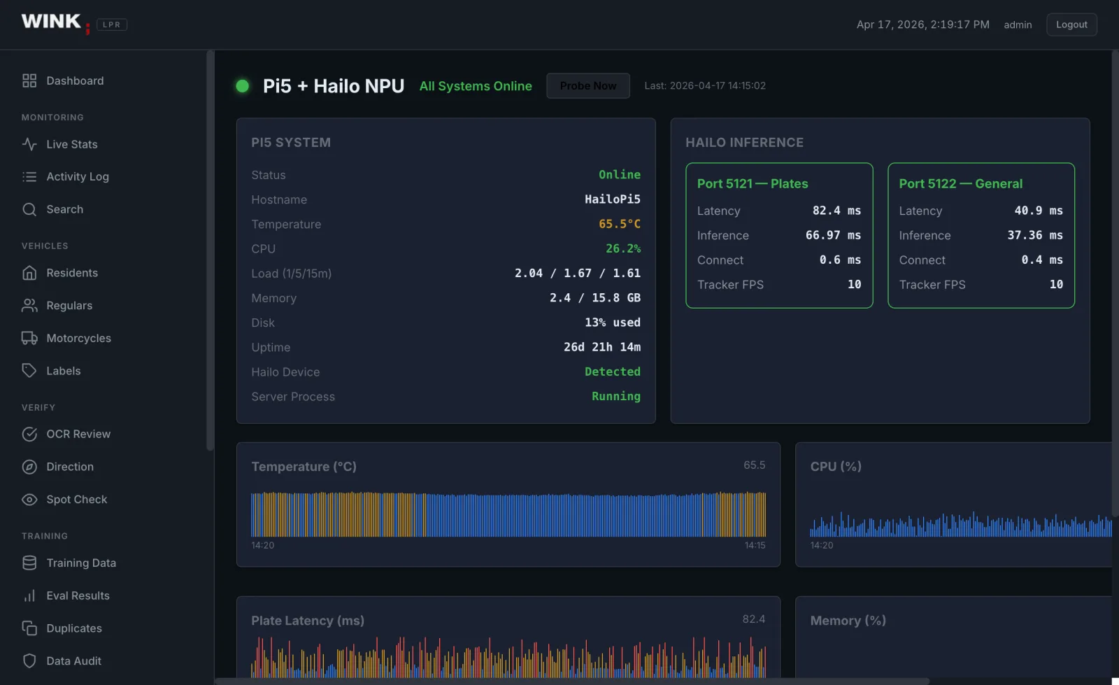
Screens from a running deployment rather than mockups.
Conventional plate recognition needs a dedicated camera: low, close to the lane, aimed along the direction of travel, infrared lit, short exposure. Do all that and the reader is handed a near ideal image. The weakness is not technical, it is that this costs money per location, so agencies get six collection points in a city while hundreds of general purpose cameras watch vehicles all day and contribute nothing.
We tested it against production data. Three pipelines, including a 1.21M parameter Real-ESRGAN model trained by Tencent ARC on millions of images, all returned 0.0% exact match and 0.4% character accuracy, at 126ms per crop against 8.9ms for the reader itself. Below roughly 100 pixels of plate width the information is not in the input, and a model that produces a plausible character is producing a hallucination, which is worse than a blank result for anything that may end up in evidence.
A vehicle passing a camera generates 15 to 20 crops that fail in different ways. Reading all of them and voting across the results returned 92.0% exact match over a thousand vehicles, against 79.5% for the best single crop and 77.4% for fusing crops into one composite. Where voting and fusion disagreed, voting was right 156 times and fusion 10. Good crops carry the vote and bad crops are noise, upscaled or not.
A plate read at one camera and again at another gives a route and an elapsed time. Repeated across thousands of vehicles a day on cameras the agency already owns, that produces corridor performance data with no GPS feeds, no probe data purchase, and no new roadside hardware. Individual read rates on pole mounted cameras are lower than a dedicated ALPR lane; the network level answer is better, because there are far more collection points.
The full experiment, including the crop size distribution across 314,979 production crops over three months, is in Neural Super Resolution as an LPR Pre-Filter. Detection runs as an add-on to WINK Media Router, with WINK Crossroad for monitoring.

A short demo with your team is the fastest way to find out if it fits.
Sales: sales@wink.co